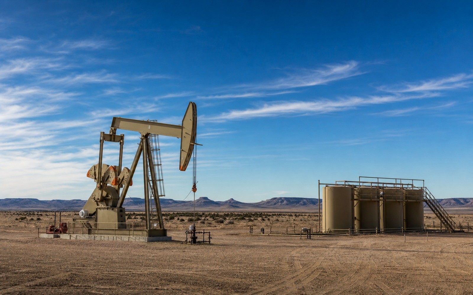
Suburban growth along Colorado's Front Range has turned drilling setbacks into a documentation issue for DJ Basin mineral owners, not just a regulatory one.
The Denver-Julesburg Basin's Niobrara and Codell intervals sit under a stretch of Weld, Adams, and Boulder county land that has urbanized rapidly since horizontal drilling took off here in the early 2010s. Colorado's 2019 setback and permitting overhaul changed how new units can be formed near homes and schools, and that regulatory shift shows up in the documentation record as delayed permits, modified unit boundaries, and, in some cases, wells that were permitted under older rules and grandfathered rather than drilled fresh.
A DJ Basin lease signed in 2012 or 2013, before the current regulatory framework, may cover acreage that can no longer be developed the way the original lease anticipated because of subsequent surface development and setback distances. That does not void the lease, but it does mean a documentation file should note whether the unit as currently producing matches the original leased acreage or was modified after the fact.
Colorado's Energy and Carbon Management Commission maintains permitting and production records that reflect these changes, and cross-checking a family's older lease against the current permit status is a standard part of building an accurate file here.
Because so much DJ Basin acreage now sits near residential development, surface use agreements and any related compensation are sometimes negotiated separately from the mineral lease itself. These agreements do not usually belong in a mineral valuation, but distinguishing surface payments from royalty income in the file avoids conflating the two when a court or examiner reviews it.
Many DJ Basin horizontals target both the Niobrara and the underlying Codell sandstone from the same wellbore or from co-located wells on one pad, and operators sometimes report these separately. A documentation file should reflect whichever reporting convention the specific operator uses rather than assume the two zones are always combined.
The basin can frame formations, product windows, decline shapes, well designs, spacing, takeaway, basis, deductions, operator behavior, and development pace. The subject remains the specific property schedule, lease, unit, wells, owner decimal, burdens, and effective date.
Producing wells, behind-pipe intervals, permits, offsets, undeveloped benches, recompletions, and broad operator inventory in the basin carry different levels of support. Each layer receives its own source date, timing assumption, production shape, burden, price case, probability, and discount.
Resolve these questions so the appraisal conclusion can be traced to a defined interest, date, method, and evidence set.
The law itself did not void existing leases, but it changed how new wells can be permitted near occupied structures, which can affect whether and how a unit gets developed further; checking the current permit status against the original lease is the practical step.
Generally no. Surface use compensation is typically a separate arrangement from mineral royalty income and should be documented separately rather than combined into the valuation figure.
Colorado's Energy and Carbon Management Commission publishes permitting and production records by well and by operator.
Many operators in this basin complete wells targeting both zones from the same pad, and some report the two intervals separately on the same statement rather than combining them.
Carry the same effective date, interest definition, evidence hierarchy, and limitations into these related appraisal procedures.
Niobrara production spans the DJ, Powder River, and other basins, each priced differently. See how formation-level documentation avoids basin-level assumptions.