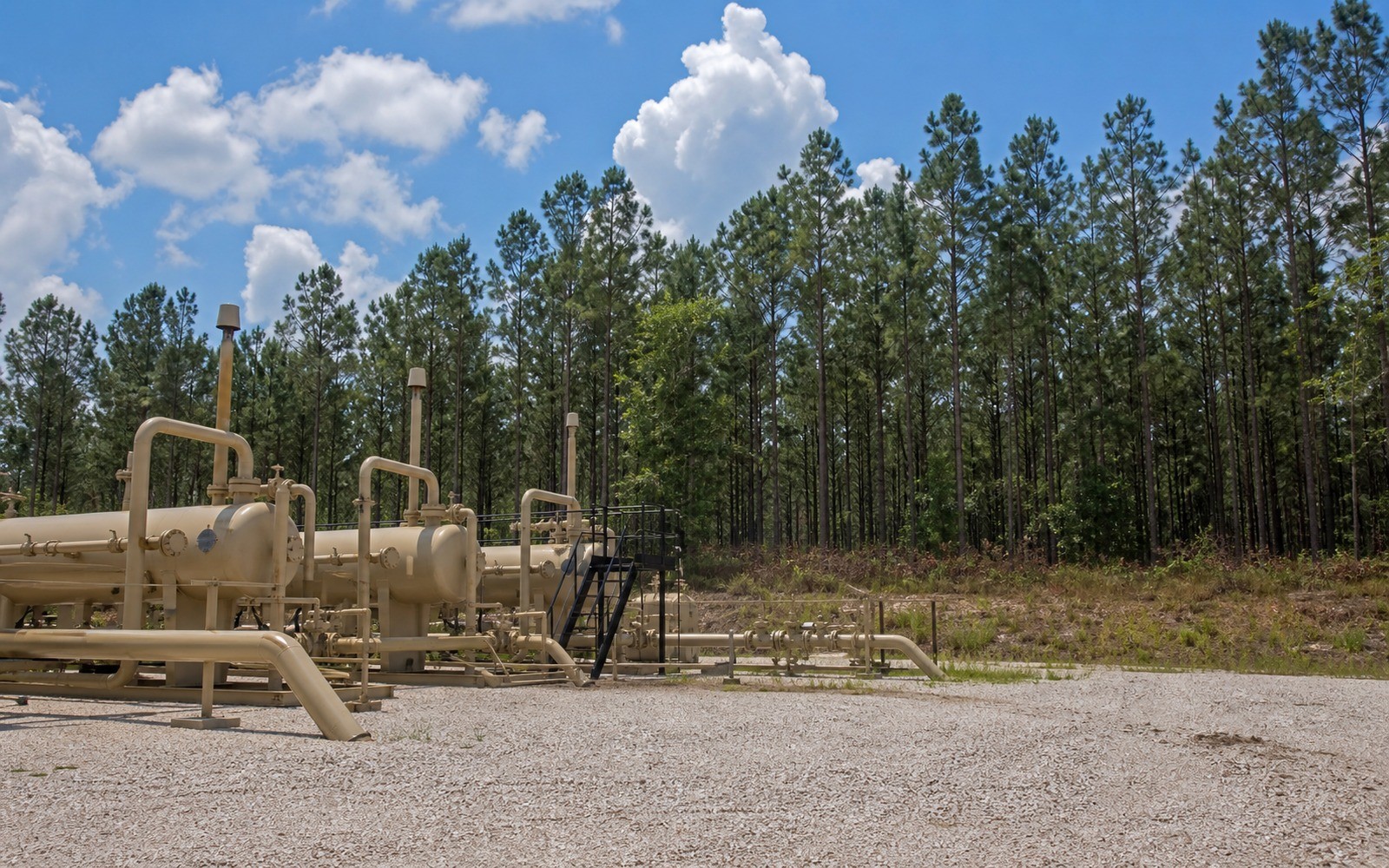
A held-by-production Haynesville lease from the first boom can still be earning royalty today, sometimes under terms nobody currently at the company remembers negotiating.
The Haynesville, spanning northwest Louisiana and East Texas across Caddo, Bossier, DeSoto, and Panola counties among others, had its first major drilling wave from roughly 2008 to 2012, with a second wave since 2016 driven substantially by Gulf Coast LNG export demand for the play's deep, dry gas. Many tracts are still under the original lease from the first boom, held by production for over a decade, which means the documentation file often needs to reconcile a fifteen-year-old lease with wells drilled much more recently under it.
A lease can remain in force indefinitely as long as production continues in paying quantities somewhere on the leased or pooled acreage, even if the specific well nearest a given tract was drilled a decade after the lease was signed. Confirming that a currently producing well is legitimately covered by the original lease terms, rather than assuming automatic continuation, is worth a note in the file, particularly for older Louisiana leases with less standardized continuous-development language.
Haynesville wells are unusually deep, often exceeding 10,000 to 14,000 feet, and Louisiana's forced unitization process through the Office of Conservation applies where owners have not voluntarily pooled. The unit order should be matched against the tract description in the file, since Louisiana units in this play sometimes cover larger acreage blocks than owners expect from the original lease boundary alone.
LNG export demand has driven a renewed second wave of Haynesville drilling since 2016, concentrated in the core counties, and current permit activity is a reasonable indicator of whether a specific tract might see continued development. A documentation file should note current permit status alongside historical production, since older, quieter tracts and newly active tracts within the same basin can look very different.
The basin can frame formations, product windows, decline shapes, well designs, spacing, takeaway, basis, deductions, operator behavior, and development pace. The subject remains the specific property schedule, lease, unit, wells, owner decimal, burdens, and effective date.
Producing wells, behind-pipe intervals, permits, offsets, undeveloped benches, recompletions, and broad operator inventory in the basin carry different levels of support. Each layer receives its own source date, timing assumption, production shape, burden, price case, probability, and discount.
Resolve these questions so the appraisal conclusion can be traced to a defined interest, date, method, and evidence set.
Often yes, if the lease has been held by continuous production and the well falls within the pooled or unitized acreage covered by that lease, though this should be confirmed against the specific lease language.
The Haynesville formation itself sits deeper underground than most other major U.S. shale plays, commonly 10,000 to 14,000 feet, which affects drilling cost and well design but not the mineral ownership documentation.
Where owners have not voluntarily pooled, the state's Office of Conservation can issue a unit order establishing participation terms across a defined acreage block, which then governs the interest in place of, or alongside, the original lease.
Yes, LNG export demand has driven a second wave of drilling since 2016 in the play's core counties, though activity levels vary by specific area and gas price conditions.
Carry the same effective date, interest definition, evidence hierarchy, and limitations into these related appraisal procedures.
Documentation-focused review of Anadarko Basin mineral interests for estate, IRS, or divorce filings, built from stacked-pay production records and county abstracts.