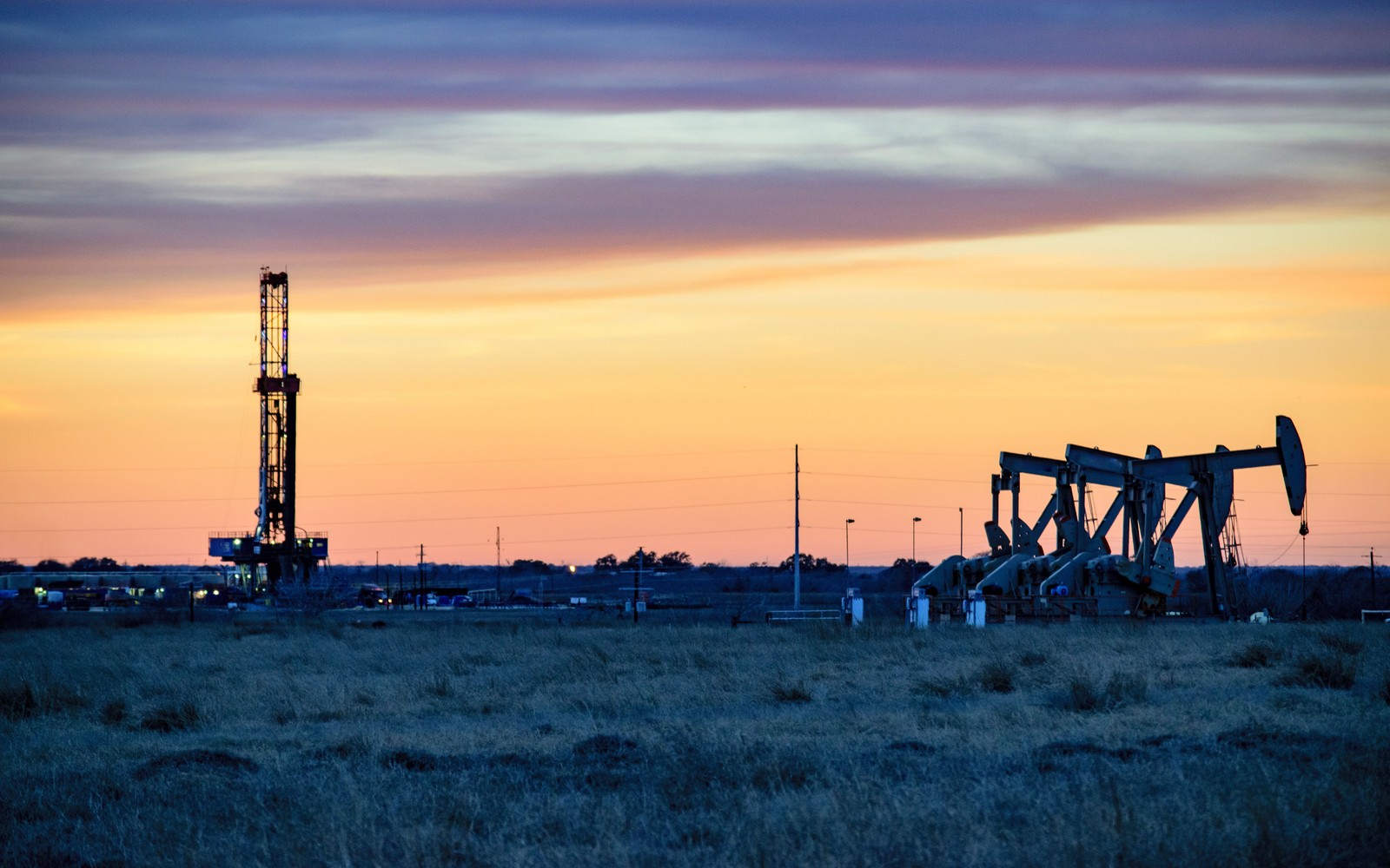
Permian Basin is the umbrella name for a region that includes the Midland Basin, Delaware Basin, and Central Basin Platform, and a documentation file needs to know which one it is actually in.
Spanning roughly two dozen West Texas and southeastern New Mexico counties, the Permian is the most heavily drilled onshore region in the country and generates by far the densest comparable production data of any basin we document. That density is an advantage for benchmarking a specific tract, but it also means a generic 'Permian Basin' comp pulled without narrowing to the correct sub-basin, county, and target formation can be badly misleading for a formal appraisal.
A tract described only as 'Permian Basin' on an old lease could sit in the Midland Basin, the Delaware Basin, or the Central Basin Platform, each with different well density, formation depth, and current activity levels. The first step in any Permian file is confirming the specific sub-basin and county through the Texas Railroad Commission or New Mexico Oil Conservation Division records, since basin-wide averages blur meaningful differences between these areas.
Some Permian tracts have been producing continuously since the 1920s and 1930s, meaning the current file may need to reconcile legacy vertical wells, 1980s and 1990s waterflood-era secondary recovery projects, and 2010s-forward horizontal shale development, all under the same original lease or its later amendments. Each era typically carries its own division order, and combining them without noting vintage and zone risks obscuring what is actually producing today versus what produced decades ago.
Because so much data exists for actively drilled Permian sections, it can be tempting to build an overly granular forecast. For a documentation-based valuation intended for estate, IRS, or divorce purposes, we favor a defensible, well-sourced range grounded in actual reported production over a narrow point estimate that implies more certainty than the underlying data supports.
The basin can frame formations, product windows, decline shapes, well designs, spacing, takeaway, basis, deductions, operator behavior, and development pace. The subject remains the specific property schedule, lease, unit, wells, owner decimal, burdens, and effective date.
Producing wells, behind-pipe intervals, permits, offsets, undeveloped benches, recompletions, and broad operator inventory in the basin carry different levels of support. Each layer receives its own source date, timing assumption, production shape, burden, price case, probability, and discount.
Resolve these questions so the appraisal conclusion can be traced to a defined interest, date, method, and evidence set.
More detail is needed. The Permian includes several distinct sub-basins, including the Midland Basin and Delaware Basin, each with different well density and formation depth, so a documentation file should identify the specific sub-basin and county.
Some Permian acreage has produced continuously since the 1920s, so a current file may need to reconcile legacy vertical wells with much more recent horizontal shale development on the same lease.
Not automatically. High comp density helps ground a documented range in real data, but a defensible range is generally more appropriate than an overly narrow point estimate for estate, IRS, or divorce purposes.
The Texas Railroad Commission covers the Texas portion and the New Mexico Oil Conservation Division covers the New Mexico portion, both maintaining public well-level production records.
Carry the same effective date, interest definition, evidence hierarchy, and limitations into these related appraisal procedures.
Delaware Basin interests sit under dense, multi-bench Permian drilling. See how comps density and stacked-pay forecasting shape a documentation file.