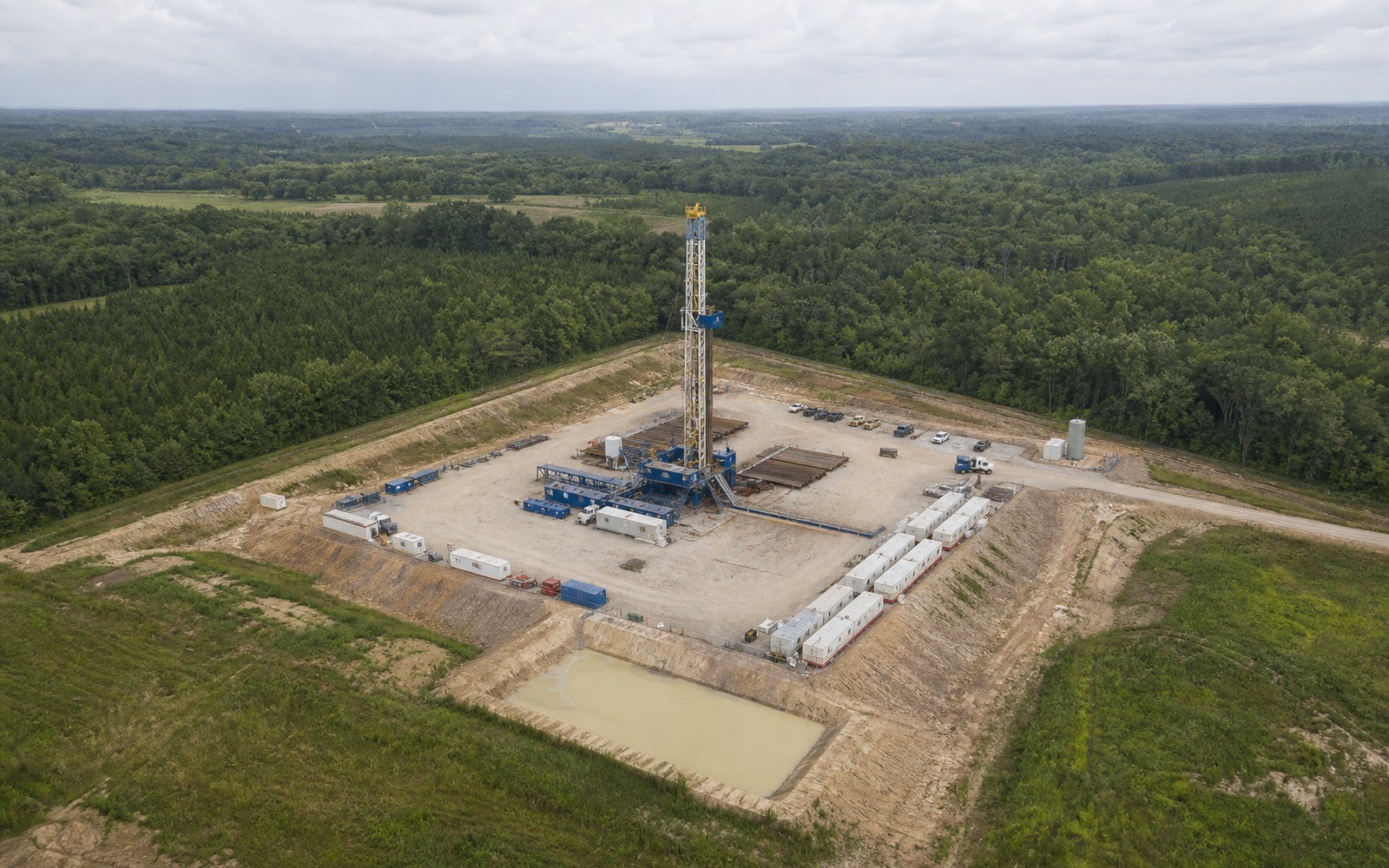
Black Warrior Basin interests tend to arrive in an estate as small, oddly shaped fractions, and untangling whose fraction is whose is usually the actual work.
Coalbed methane development across Tuscaloosa, Jefferson, and Walker counties in Alabama, extending into parts of Mississippi, dates mostly to the 1980s and 1990s, drilled on comparatively small tracts and small spacing units compared to the western shale plays. Because those units were carved out of long-held family land, often subdivided across generations before a single lease was ever signed, the ownership record behind a Black Warrior interest is frequently more fragmented than the production behind it.
It is common for a Black Warrior tract's mineral rights to be held in undivided fractions by a dozen or more descendants of an original 1950s or 1960s landowner, each holding a small percentage that was never formally partitioned. Before production records mean anything for a valuation, the specific heir's percentage needs to be traced through the probate and deed record, since royalty statements typically reflect a decimal interest that already assumes this math has been done correctly upstream.
Where the division order decimal on a current check does not match what the family's own records suggest it should be, that discrepancy is worth documenting rather than resolving informally, since it may reflect an unrecorded assignment or a probate step that was never finalized.
Unlike conventional oil wells, coalbed methane wells in this basin often produce water alongside gas for a period before gas rates stabilize, and total gas volumes tend to be modest per well compared to shale gas. Most of this basin's development is now mature, so a documentation file should treat current production as a long-tail baseline rather than expect near-term growth.
Alabama's oil and gas board maintains spacing and unitization orders that are worth matching against the tract description on file, particularly for older units where the paperwork predates digital recordkeeping and may only exist in county courthouse form.
The basin can frame formations, product windows, decline shapes, well designs, spacing, takeaway, basis, deductions, operator behavior, and development pace. The subject remains the specific property schedule, lease, unit, wells, owner decimal, burdens, and effective date.
Producing wells, behind-pipe intervals, permits, offsets, undeveloped benches, recompletions, and broad operator inventory in the basin carry different levels of support. Each layer receives its own source date, timing assumption, production shape, burden, price case, probability, and discount.
Resolve these questions so the appraisal conclusion can be traced to a defined interest, date, method, and evidence set.
Many tracts in this basin were subdivided among multiple heirs over several generations before any lease was signed, so a small fractional decimal is often accurate rather than an error.
Yes, coalbed methane wells often produce water along with gas and generally show lower per-well gas volumes than shale wells, which is useful context when reviewing a production history.
The county probate and deed records, traced from the original landowner through each subsequent inheritance or conveyance, are the standard source; your attorney can confirm the chain if it is unclear.
Activity varies by county and has slowed considerably since the basin's 1980s and 1990s development peak, so current records should be checked against the specific tract rather than assumed from general basin activity.
Carry the same effective date, interest definition, evidence hierarchy, and limitations into these related appraisal procedures.
Smackover interests carry some of the oldest oil leases in the South, plus new lithium brine activity. See how that dual history shapes documentation.