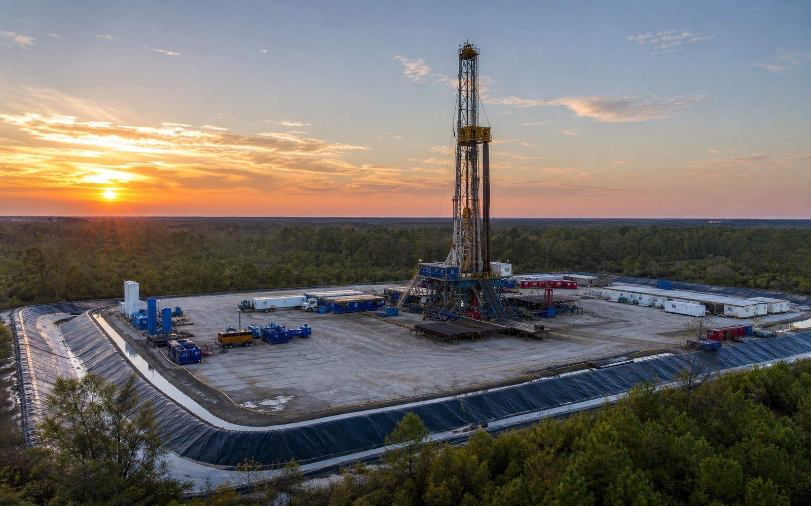
A lot of Tuscaloosa Marine Shale leasing happened without much drilling ever following it, which makes documentation, not production history, the center of most files here.
Spanning parts of southwestern Mississippi and southeastern Louisiana, the Tuscaloosa Marine Shale drew significant leasing interest between roughly 2010 and 2014 on the strength of early well results, but high drilling costs and mixed performance led most major operators to scale back or exit the play well before full-scale development occurred. The result is a basin where many mineral owners hold an active or recently expired lease with little or no associated production, which is a fundamentally different documentation problem than a producing basin.
Where a tract was leased during the 2010 to 2014 boom but never drilled, the relevant record is the lease itself, its current status, whether it is still in its primary term, has expired, or was extended, rather than a production history that does not exist. Mississippi's State Oil and Gas Board and Louisiana's Office of Conservation both maintain permit and well records that can confirm whether any drilling ever occurred on or near a specific tract.
Because relatively few wells were ever drilled across this play compared to its original footprint, and because most operators active during the boom have since exited, comparable production data is thin and geographically scattered rather than dense the way it is in an active basin. A documentation file should be explicit about this scarcity rather than extrapolate from a handful of wells drilled a decade or more ago under different cost and price conditions.
For an interest with an expired lease and no production history, the appraisal file typically documents the lack of current activity alongside whatever historical leasing and bonus payment records exist, producing a modest, well-supported figure rather than a speculative one based on the play's early-2010s promise. As with other quiet plays we document, a low documented number still satisfies an estate or IRS filing requirement in a way that an unsupported placeholder does not.
The basin can frame formations, product windows, decline shapes, well designs, spacing, takeaway, basis, deductions, operator behavior, and development pace. The subject remains the specific property schedule, lease, unit, wells, owner decimal, burdens, and effective date.
Producing wells, behind-pipe intervals, permits, offsets, undeveloped benches, recompletions, and broad operator inventory in the basin carry different levels of support. Each layer receives its own source date, timing assumption, production shape, burden, price case, probability, and discount.
Resolve these questions so the appraisal conclusion can be traced to a defined interest, date, method, and evidence set.
This play drew heavy speculative leasing between roughly 2010 and 2014 but saw limited follow-through drilling from most major operators, so many leased tracts in this area were never actually developed.
Mississippi's State Oil and Gas Board and Louisiana's Office of Conservation both maintain public permit and well records that can confirm drilling activity, or the lack of it, in a specific area.
It depends on the lease's primary term and any extension or held-by-production language, so checking the lease's specific terms and current status is the necessary first step, and your attorney can advise on interpretation.
Yes, historical leasing and bonus payment records, combined with current lease status, can support a modest, well-documented figure even for an interest with no current production.
Carry the same effective date, interest definition, evidence hierarchy, and limitations into these related appraisal procedures.
Post-production cost deductions shape most Marcellus Shale royalty checks. See how deduction-adjusted income documentation works for a formal appraisal.