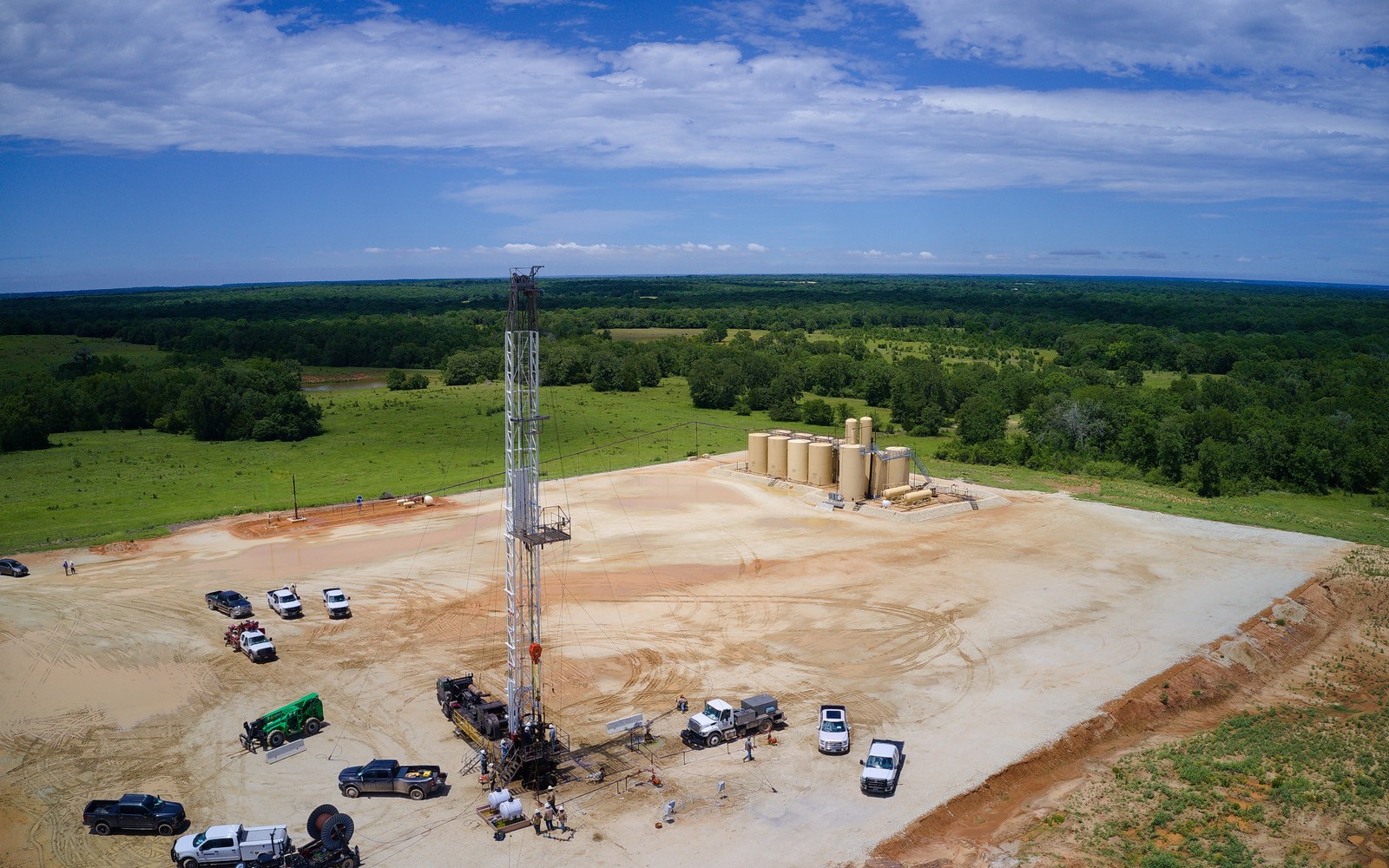
The Fayetteville Shale had its run in the mid-2000s, and most of what remains today is a long, quiet tail worth documenting carefully rather than optimistically.
Development across the Arkoma Basin counties of Van Buren, Cleburne, Faulkner, and White in north-central Arkansas ramped up quickly after 2004 and slowed just as quickly once gas prices softened later that decade. Many operators active during the boom have since sold or exited their Fayetteville positions, sometimes multiple times, which means the operator on a current royalty statement may be several steps removed from the company that originally drilled and leased the tract.
Because Fayetteville acreage has changed hands repeatedly since the boom years, matching a family's original lease to the current operator sometimes requires following two or three intermediate assignments recorded at the county level. Arkansas's Oil and Gas Commission maintains well records that can confirm current operator of record even when a family's own paperwork has not been updated in years.
Wells drilled during the 2005 to 2010 boom are now well past their steep early decline and producing modest, fairly flat volumes. A documentation file built on a recent twelve-month average tends to reflect this stage more accurately than a single month, since low gas prices can make short-term income look weaker than the well's underlying multi-year pattern.
Some Fayetteville tracts were leased in smaller parcels during the initial land rush and later pooled into larger units as development matured. Where a tract's current unit boundary differs from the original leased acreage, noting the pooling order that formed the current unit clarifies why the interest is reported the way it is.
The basin can frame formations, product windows, decline shapes, well designs, spacing, takeaway, basis, deductions, operator behavior, and development pace. The subject remains the specific property schedule, lease, unit, wells, owner decimal, burdens, and effective date.
Producing wells, behind-pipe intervals, permits, offsets, undeveloped benches, recompletions, and broad operator inventory in the basin carry different levels of support. Each layer receives its own source date, timing assumption, production shape, burden, price case, probability, and discount.
Resolve these questions so the appraisal conclusion can be traced to a defined interest, date, method, and evidence set.
Fayetteville acreage has changed ownership multiple times since the mid-2000s boom, so it is common for the current operator to be several steps removed from whoever originally drilled the well.
Activity has slowed considerably since its 2005 to 2010 peak; most current production comes from mature wells rather than new drilling, though this varies by county.
The Arkansas Oil and Gas Commission maintains public well records that identify the current operator of record by well.
Yes, a documented figure based on recent production, even if modest, is more defensible in an estate or IRS filing than omitting the interest.
Carry the same effective date, interest definition, evidence hierarchy, and limitations into these related appraisal procedures.
Alabama and Mississippi coalbed methane interests often sit in small, checkerboarded tracts. Learn how ownership fragmentation shapes a documentation file.