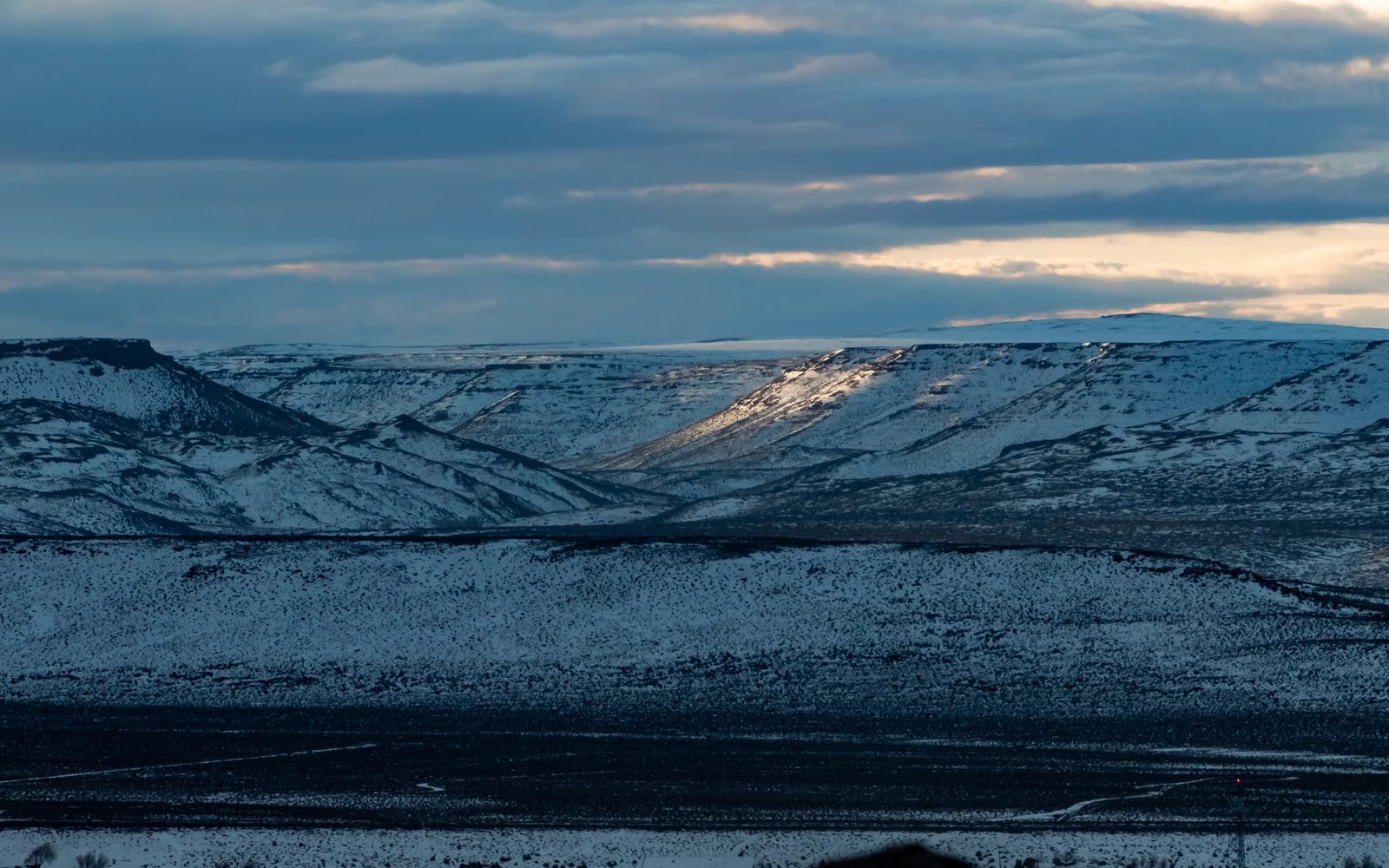
Wyoming's Green River Basin mixes federal, state, and fee minerals on the same map, and knowing which one applies to a given tract is the first documentation step.
The Pinedale Anticline and Jonah Field, both tight gas developments in Sublette County, sit on a checkerboard of Bureau of Land Management acreage, State of Wyoming land, and private fee minerals, often within the same unit. A documentation file for a Green River Basin interest starts by confirming which category the specific tract falls under, since federal mineral leases follow BLM royalty terms and reporting conventions that differ from a private lease negotiated directly with a landowner.
For federal minerals, BLM's public land records and the Office of Natural Resources Revenue's royalty reporting system provide production and payment history that can be cross-checked against what a family has received. For fee minerals, the county courthouse and the operator's division order remain the primary sources, similar to other basins, but the two record types should not be assumed interchangeable within the same file.
Because Pinedale and Jonah development typically spans federal, state, and private tracts within a single unit, communitization agreements, the federal-lands equivalent of a pooling order, govern how production is allocated across the different ownership types. The communitization agreement, not just the lease, establishes a fee mineral owner's participation percentage when their tract sits inside a federally unitized area.
Both fields saw their most intensive drilling in the 2000s and early 2010s, with activity slowing as gas prices softened later in that decade. A documentation file should reflect current well status and recent production rather than the higher activity levels of the basin's peak drilling years.
The basin can frame formations, product windows, decline shapes, well designs, spacing, takeaway, basis, deductions, operator behavior, and development pace. The subject remains the specific property schedule, lease, unit, wells, owner decimal, burdens, and effective date.
Producing wells, behind-pipe intervals, permits, offsets, undeveloped benches, recompletions, and broad operator inventory in the basin carry different levels of support. Each layer receives its own source date, timing assumption, production shape, burden, price case, probability, and discount.
Resolve these questions so the appraisal conclusion can be traced to a defined interest, date, method, and evidence set.
BLM and Wyoming state land records, along with the county courthouse for fee minerals, can confirm ownership type; this distinction affects which royalty reporting system applies to the interest.
It is the federal-lands version of a pooling order, allocating production among federal, state, and private tracts within a single development unit; it establishes a fee owner's participation share when their land is included.
The Office of Natural Resources Revenue publishes royalty and production data for federal mineral leases, which can be checked against operator statements.
Pinedale and Jonah saw their heaviest drilling in the 2000s and early 2010s, with activity slowing since; current production is largely from mature wells.
Carry the same effective date, interest definition, evidence hierarchy, and limitations into these related appraisal procedures.
Arkansas Fayetteville Shale wells are mostly mature and declining. See what a documentation-based valuation looks like for this aging gas play.