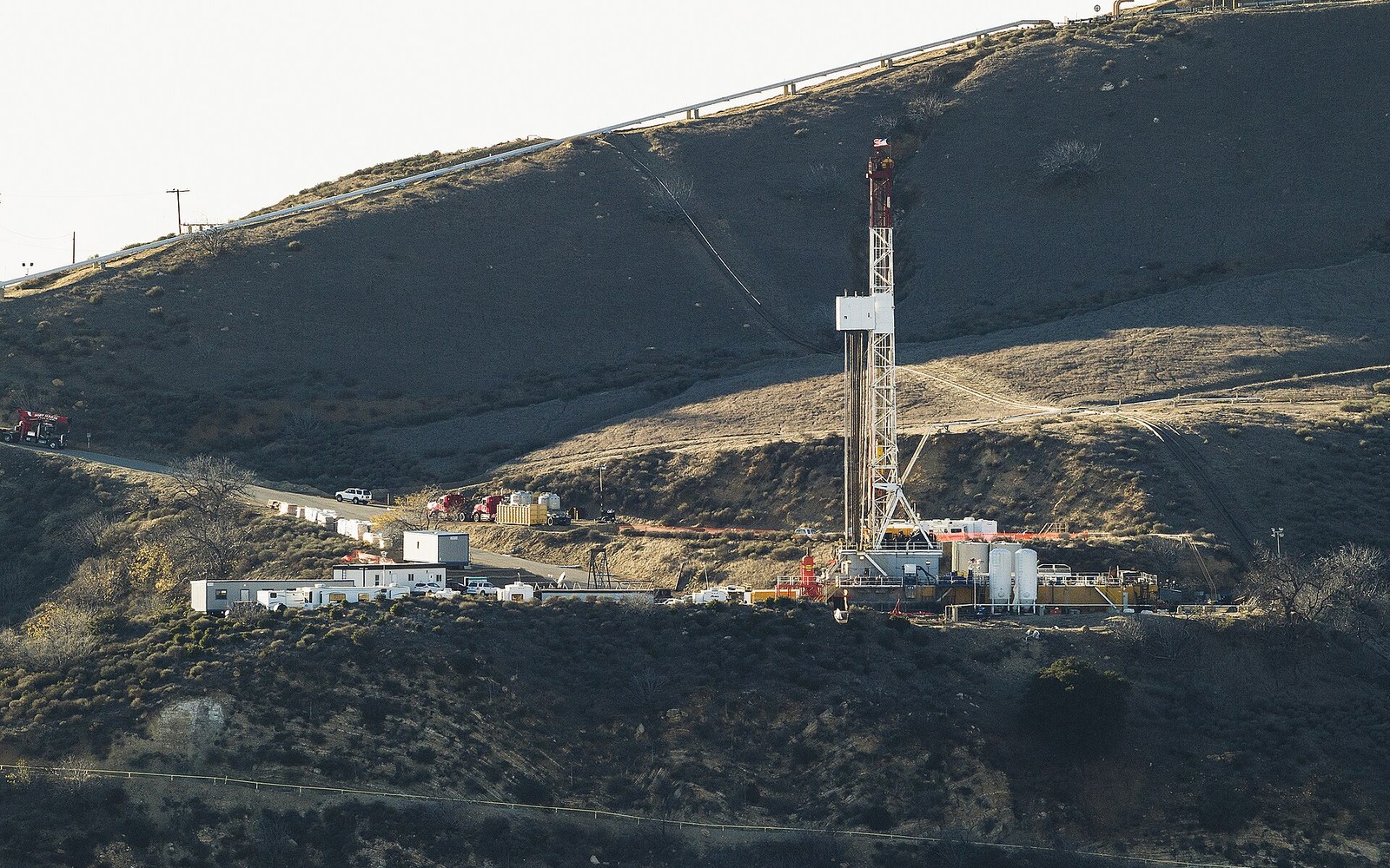
The Piceance Basin was a busy tight gas play fifteen years ago, and most interests here now need a valuation grounded in that quieter present, not the boom years.
Western Colorado's Piceance Basin, centered on Garfield and Rio Blanco counties, saw intensive Mesaverde and Williams Fork tight gas drilling through the mid-to-late 2000s, much of it on federal Bureau of Land Management acreage. Gas price declines after 2009 sharply curtailed new drilling, and while a substantial number of wells from that era remain in production, the basin's current activity level is a fraction of its peak, which should be the baseline assumption for any documentation file rather than an exception to note.
A large share of Piceance Basin development sits on federal minerals, so royalty reporting typically runs through the Office of Natural Resources Revenue in addition to, or instead of, a private operator's division order. Confirming whether a specific tract is federal, state, or fee mineral determines which record source is authoritative for the file.
Wells drilled during the 2000s boom are now well into a long decline, and with limited new drilling since, current production for most tracts reflects depletion of existing wells rather than any offsetting new development. A documentation file should use recent trailing production as the baseline and should not assume renewed activity without a specific permit or operator announcement to support it.
Some Piceance leases from the boom years remain in force under held-by-production status even though drilling activity nearby has stopped, which means an interest can still generate modest ongoing income from older wells without any expectation of new wells being added. Noting this status explicitly, rather than treating a quiet tract as necessarily near end-of-life, keeps the file accurate.
The basin can frame formations, product windows, decline shapes, well designs, spacing, takeaway, basis, deductions, operator behavior, and development pace. The subject remains the specific property schedule, lease, unit, wells, owner decimal, burdens, and effective date.
Producing wells, behind-pipe intervals, permits, offsets, undeveloped benches, recompletions, and broad operator inventory in the basin carry different levels of support. Each layer receives its own source date, timing assumption, production shape, burden, price case, probability, and discount.
Resolve these questions so the appraisal conclusion can be traced to a defined interest, date, method, and evidence set.
Natural gas price declines after 2009 sharply curtailed new drilling across the basin, and current activity remains well below its mid-to-late 2000s peak.
BLM records and county courthouse records can confirm ownership type; a large share of this basin's development sits on federal minerals, which changes which royalty reporting system applies.
Not necessarily. Many wells from the 2000s boom remain in production today, so an interest can still generate modest ongoing income even without new nearby drilling; a documentation-based review of recent production is the way to establish an accurate figure.
The Office of Natural Resources Revenue publishes royalty and production data for federal mineral leases, which can be checked against operator statements.
Carry the same effective date, interest definition, evidence hierarchy, and limitations into these related appraisal procedures.
Utah's Uinta Basin overlaps Ute tribal trust land and produces distinctive waxy crude. See how those factors shape a documentation-based appraisal.