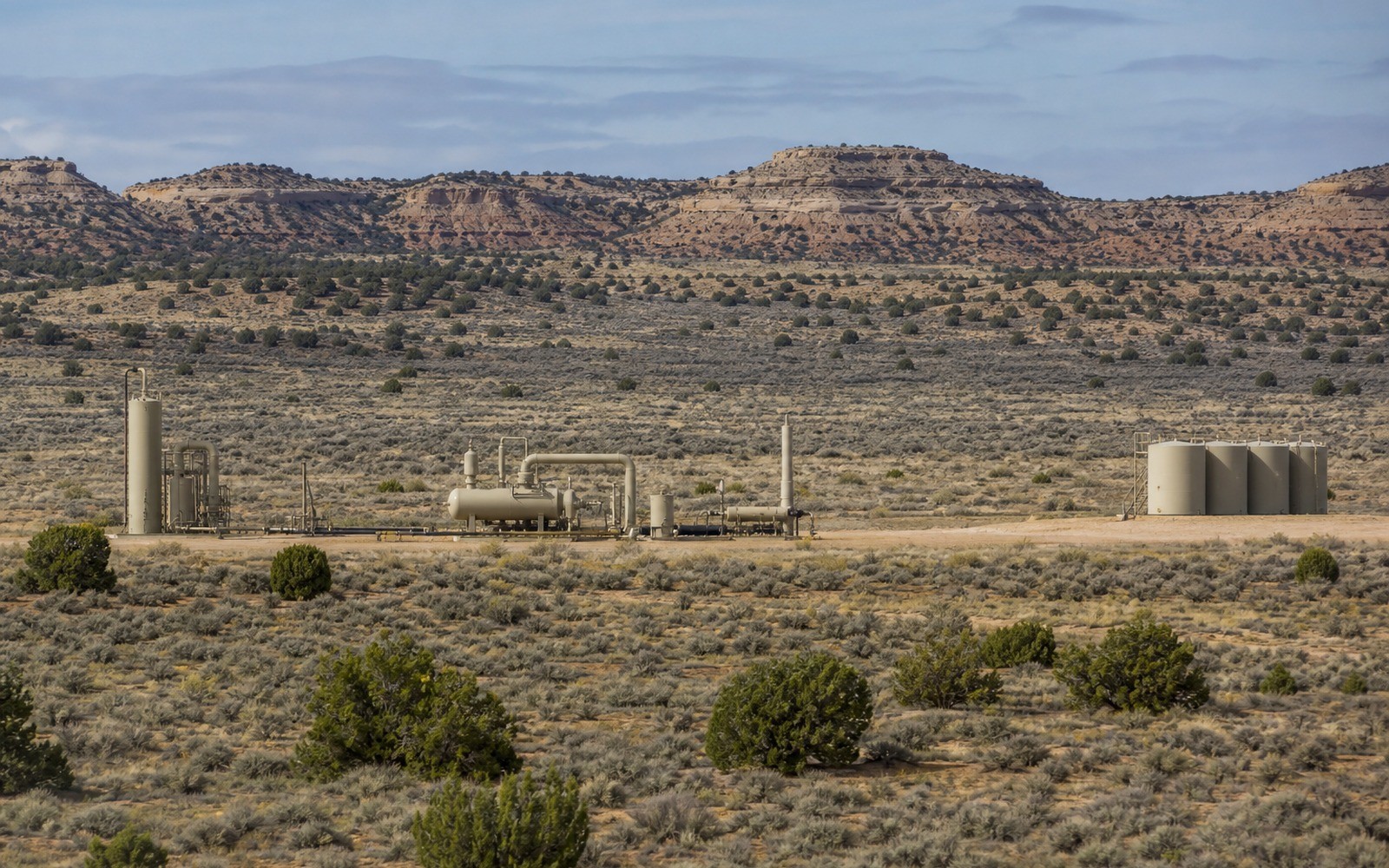
Uinta Basin mineral interests often carry two distinguishing features at once: overlap with Ute tribal trust land, and a crude oil that behaves differently from anything sold out of Texas.
Northeastern Utah's Uinta Basin, centered on Duchesne and Uintah counties, produces a distinctive waxy, paraffinic crude that solidifies at relatively warm temperatures, which historically limited transport to specialized heated rail cars and kept the play more insulated from broader national pipeline infrastructure than most other basins we document. A significant portion of the basin also overlaps the Uintah and Ouray Reservation, home to the Ute Indian Tribe, meaning a meaningful share of Uinta Basin mineral interests involve allotted trust land administered through the Bureau of Indian Affairs alongside standard state and fee minerals.
Where a mineral interest sits within an individually allotted trust parcel on the reservation, royalty administration typically runs through the Bureau of Indian Affairs and the Office of Natural Resources Revenue, and historically required federal approval for leasing, similar to the documentation approach needed in the San Juan Basin. Confirming trust status early, before pulling a standard county-based production record, keeps the file aligned with the correct authority.
Uinta Basin crude's paraffin content has historically required rail transport in heated cars, and pricing has at times traded at a discount to benchmark crude because of that transport limitation, though rail capacity investments in recent years have improved market access somewhat. A documentation file should note this basin's distinct crude quality and transport situation rather than benchmark its pricing directly against Permian or Bakken crude without adjustment.
Beyond the reservation trust lands, the Uinta Basin also includes substantial BLM federal acreage and state trust lands managed by Utah's School and Institutional Trust Lands Administration, in addition to private fee minerals. Confirming which category applies to a specific tract determines which agency's records are authoritative for the documentation file.
The basin can frame formations, product windows, decline shapes, well designs, spacing, takeaway, basis, deductions, operator behavior, and development pace. The subject remains the specific property schedule, lease, unit, wells, owner decimal, burdens, and effective date.
Producing wells, behind-pipe intervals, permits, offsets, undeveloped benches, recompletions, and broad operator inventory in the basin carry different levels of support. Each layer receives its own source date, timing assumption, production shape, burden, price case, probability, and discount.
Resolve these questions so the appraisal conclusion can be traced to a defined interest, date, method, and evidence set.
A meaningful share of this basin overlaps the Uintah and Ouray Reservation, and mineral interests within individually allotted trust parcels are administered through the Bureau of Indian Affairs and the Office of Natural Resources Revenue rather than standard county records alone.
This basin produces a waxy, paraffinic crude that has historically required specialized heated rail transport, which has at times caused it to trade at a discount to benchmark crude prices because of transport limitations.
BLM records, Utah's School and Institutional Trust Lands Administration, Bureau of Indian Affairs records, and county courthouse records each cover a different ownership category, so confirming which applies is a necessary first step.
Yes, we recommend an attorney familiar with federal Indian trust land administration, since leasing approval and documentation requirements differ from standard state or fee-mineral processes.
Carry the same effective date, interest definition, evidence hierarchy, and limitations into these related appraisal procedures.
Wyoming's Green River Basin mixes federal, state, and private minerals. See how BLM unit records factor into a documentation-based appraisal.